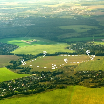
Precision Mapping to Track Farm Boundaries Without Field Visits
Information: AI-powered satellite mapping automates precise farm boundary detection at scale.
Nutrient Profiling to Drive Fertiliser Recommendations at Scale
Satellite and ground data assess soil nutrients, optimising fertiliser use for better yields.
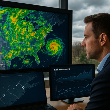
Advance Weather Intelligence for Operational Agility and Risk Planning
AI-powered forecasts enable smarter irrigation, planting, and harvesting decisions.
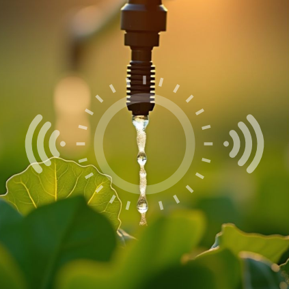
Smart Irrigation Insights to Optimise Water Use and Reduce Costs
SAR data & rainfall forecasts optimise irrigation, reducing water waste and costs.
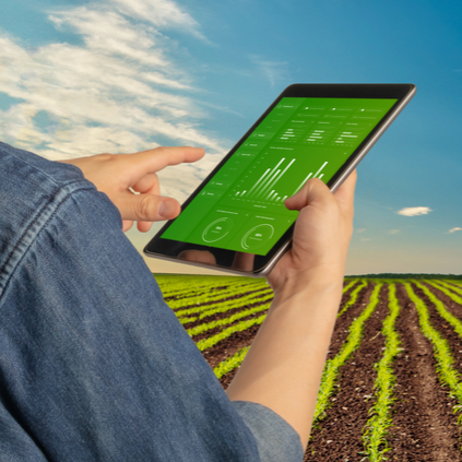
Real-Time Crop Health Monitoring to Minimise Risk Across Regions
Sentinel-1 & 2 data with NDVI/GCI ensure accurate crop monitoring, rain or shine.
Early Crop Detection to Forecast Yield Potential from Day One
Satellite data and NDVI provide early crop growth insights, even in tough weather.

